From many past years, we were using a US-based global positioning system.
Now, it's time to show "Indian power".
ISRO is finally up with its own positioning system named NAVIC.
 |
The Indian Regional Navigation Satellite System (IRNSS) is officially called NAVIC which is similar to navigation with Indian Constellation. The regional geo-positioning system has been designed in India by ISRO to provide accurate positioning in India and around the Indian mainland. It is said to be more accurate than GPS.
The Working Principle and Key Applications of Infrared Sensors!
Realme had recently launched its latest 5G smartphone realme x50 pro and it has NAVIC installed in it. Realme is well known for its cheaper price segment.
Qualcomm had recently said reported that all range of processors like 865s, 720G, 730G, 430 series processors will be capable of using NAVIC system in them and will be launching soon in India .
Cryptography |definition, and uses
NavIC is the operative name for what is otherwise known as the Indian Regional
Navigation Satellite System (IRNSS). Navic was developed for terrestrial areas, aerial and marine navigation.
Navigation Satellite System (IRNSS). Navic was developed for terrestrial areas, aerial and marine navigation.
Not only this but also can help in disaster management, for vehicles tracking like scenarios. Though, it is mainly designed to work on smartphones.
This navigation system will not only guide to roads but also some of the encrypted
info like military access. Qualcomm had announced their chip which will be powered with navic system.
info like military access. Qualcomm had announced their chip which will be powered with navic system.
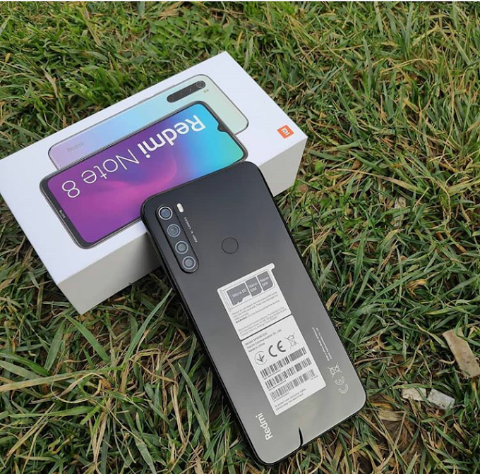
Xiaomi may also launch its mobile phones with NAVIC chipsets.
ISRO official told PTI that this time, 3GPP, the 3rd Generation Partnership Project
standards organization (which develops protocols for mobile telephony)has already approved the system.
standards organization (which develops protocols for mobile telephony)has already approved the system.
How accurate is it ???
Navic is considered to be far more suitable and powerful than a US-based GPS system and Russian based system because it is getting its signals from seven different satellites. The IRNSS is believed to provide accuracy 20 m better in the primary service areas. One the other hand, with 24 satellite system GPS is accurate till 4.9 meters only.
On increasing the dense areas, the accuracy decreases.
The only thing we can do is to wait until some more announcement comes from the authorities.
Till then stay tuned for more updates.
Want some more tech news ??
Do follow our social media handles :
INSTAGRAM - techyfreak_
FACEBOOK - techyfreak16


0 Comments